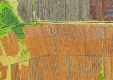
As a fully licenced and insured UAV operator, using cutting edge technology and custom software we can provide aerial orthophotography for your project.

Uses may include:
· Providing detailed, high quality and current aerial photographs of a site.
· Providing a geo-referenced “stitched” orthophotograph for further use in GIS software.
· Fine scale habitat and species mapping.

We are licenced by the Civil Aviation Authority to operate to operate UAVs for commercial operations (PfCO).