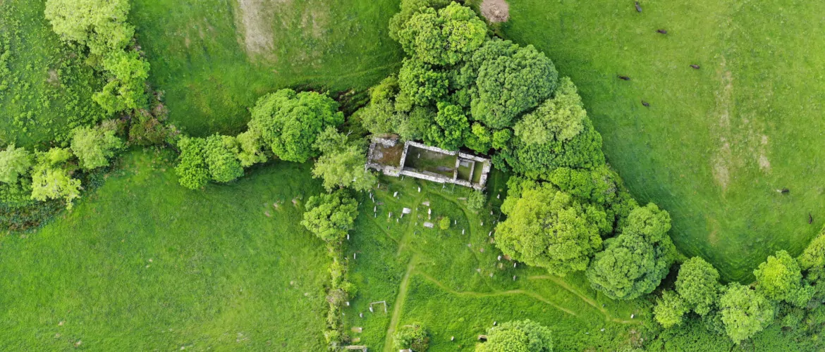
We do aerial surveys, mapping and GIS – find out more
We are licenced UAV pilots and can provide georeferenced aerial imagery maps and support with Geographic Information Systems (GIS).
We do aerial surveys, mapping and GIS – find out more
We are licenced UAV pilots and can provide georeferenced aerial imagery maps and support with Geographic Information Systems (GIS).